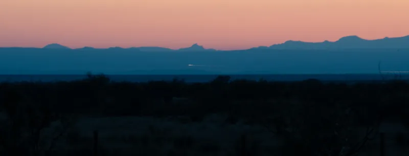
Know what you're looking at
For generations (in print since the 1940s, and by local tradition since the 1880s), people have watched unexplained lights over the flat southeast of Marfa. Many lights seen from the Viewing Area have ordinary sources: cars, trains, towers, towns. This guide helps you rule those out. What's left, including experiences that have never been explained, deserves careful attention, not dismissal.
Take the guide to the Viewing Area
The pocket app tells you when it gets dark tonight, where the moon and planets will be, and what a light in a given direction is likely to be. It also forecasts tonight's weather and refraction, opens every tool on this site, and keeps a one-tap sighting log. Add it to your home screen and it works with no signal.
- Tonight's dark hours, moon, planets and conditions
- "What's that light?" in two taps
- Red night-vision screen
- Everything stays on your phone
_(cropped).jpg)
.jpg)
Visit
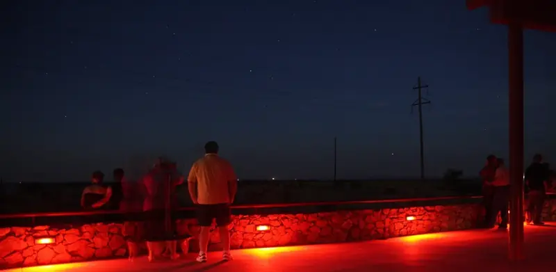
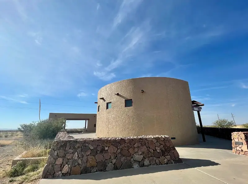
Going out to the Viewing Area: plan the night, take the app, and report what you see.
Plan a night
When it gets dark, what to bring, and how to observe like a scientist: bearings, timing, notes, and staying on public ground.
Read →Pocket app
Tonight's dark hours, moon, planets, weather and refraction; "what's that light?" in two taps; a sighting log. Works with no signal.
Open →Report a sighting
A guided form that checks your light against every known source. It stays on your device until you choose to send it.
Report →Tools
Work out what a light is: by bearing, by camera, from a photo, or on the land itself.
Map and light identifier
Satellite map of the viewing direction, with every known light source. Enter or point a bearing and see what lies along it.
Open map →Camera sky finder
Point your phone at the view: skyline, roads, towers and stars drawn over the camera. Calibrate on a known light, then record a precise bearing.
Open →Photo checker
Line up your photo from the platform with the mountains, tower lights or stars, and see whether each light sits where a car, train or tower can appear. Runs on your device.
Check a photo →The terrain in 3D
Fly over the land from the platform to the Chinati Mountains: lidar relief, creeks, lit towers, and the stretches of US-67 and Nopal Road the platform can see.
Open →Learn
The stories, the record and the land behind the lights.
History and folklore
From an 1883 cowhand's campfire to wartime pilots, ranch families and ghost stories.
Read →Sightings and photographs
Every documented sighting, study and published photo we could trace, with sources, and what the photos show when re-analysed.
Browse →The place
A high desert basin ringed by old volcanoes, one of the darkest night skies in North America.
Read →Community and dark skies
Why this project exists, the dark-sky reserve around Marfa, being a good neighbour at the Viewing Area, and how to share what you see.
Read →Science
What the evidence shows, how we tested it, and the full paper.
The science
What field studies found, what mirages can and can't do, what our terrain model shows, and how we tested it on photographs.
Read →The paper
The full study, with its data, code and how to cite it.
Read →Sight-line report
The full occlusion analysis: two maps, refraction range, cross-sections and methods.
Read →